
Discover the routes of the Race Across Spain: Destination Cantabria 2026
Four routes, four ways to discover Spain by bike. For its second edition, Race Across Spain offers four route options to explore the peninsula: the 200K through the heart of the Cantabrian Mountains, the 300K between the Atlantic coast and the inland valleys, the 500K, which combines both landscapes, and the 1,000K, a true cross-country journey through Spain from the Mediterranean to the Cantabrian Sea.
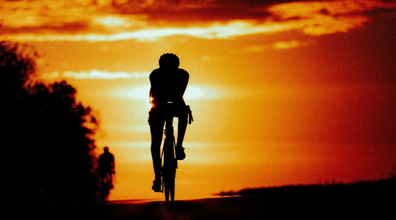
Cyclist participating in the Race Across Spain: Destination Cantabria
A crossing of the Mediterranean to the Cantabrian Coast—1,049 km, 9,770 m of elevation gain
The 1,000 km route is the only one of the three that is entirely off-road. It starts on the Mediterranean coast in Águilas and ends at the Cantabrian Sea in Santander, traveling from sea to sea, from the southeast to the north, crossing the peninsula diagonally.
What makes it unique is a single figure: 75% of the course takes place at an elevation above 500 meters, and the average elevation is 688 meters. Riders spend most of the race on the meseta, that Castilian high plateau that cannot be summed up by a single profile.
This explains the relatively modest elevation gain (8 m/km) for such a long route. The 1000K does not consist of a series of mountain passes: it climbs gradually, stays at high elevation for a very long time, and then drops sharply into Cantabria over the final 100 kilometers.
Highlights
Km 0–72: Leaving the Mediterranean. Right from the start in Águilas, there’s an immediate 21-km climb with a gain of 487 m. The riders leave the coast without warming up. The climb then continues up to 876 m at km 72. “Starting too fast here will take its toll 900 km down the road.”
Km 146–224: the long, invisible climb. 78 kilometers of continuous ascent for just +715 m. This is the classic trap of this kind of route: a slope you can’t see or feel, but one that wears you down. “The killer false flat.”
Km 716–742: the Sierra de Urbión. A 26-kilometer climb at a 2.5% gradient to reach 1,746 m, the highest point of the route, in the Puerto de Santa Inés area (Soria). This is the highest point of the three routes, set in a mountain range of pine forests with an almost alpine character. Be mindful of nighttime temperatures: at this altitude in September, the temperature difference compared to Águilas can exceed 20 °C.
Km 914–994: The Cantabrian Wall. After a long, gently ascending stretch of 58 km, the route continues with Estacas de Trueba ( 1,138 m) followed by La Braguía (693 m, with a 6.2-km climb at a 5.6% gradient). These two mountain passes are located at kilometers 975 and 994. Placing the two steepest climbs of the route within the final 75 kilometers—after 900 km—is what truly puts the 1000K to the test.
Km 994–1,049: the descent to the sea. Fifty-five kilometers of steep descent from La Braguía to El Sardinero.
The Picos and Palombera Loop - 296 km, 4,500 m of elevation gain
The 300-km route is the most “scenic” of the three in the best sense of the word: it runs along the Cantabrian coast to the west, heads inland, crosses a major mountain pass, and then returns through the Pasiega valleys.
It’s also the most balanced: 12.7 km of elevation gain, with just one major challenge and a relatively straightforward course profile. A great first true ultra race for those coming from cyclosportif events.
Highlights
Km 0–70: The coast. The route follows the western Cantabrian coastline, passing through Comillas —a village known for its Modernist heritage, including Gaudí’s Capricho—and then San Vicente de la Barquera and its bridge over the estuary. This is the most photogenic section of the route, which should be highlighted in the content.
Km 90–120: Warming up. Two intermediate climbs (+464 m and then +427 m, at 3.5% and 4.1%) that take the riders away from sea level.
Km 125–156: the Puerto de Palombera. The highlight of the course. A 30.6-km climb with 1,001 m of elevation gain, averaging 3.3%—a long rather than steep ascent that winds through beech and oak forests before opening onto high-altitude pastures at 1,247 m. This is the highest point of the route and the most spectacular section. The steepest kilometer of the 300K comes just after this, at km 147, with a gradient of 11.2%.
Km 170: Reinosa. A natural rest stop at 849 m, at the head of the Ebro River valley.
Km 199–211: The long plateau. Twelve kilometers at a 1.4% grade up to 1,010 m—another false flat, at an altitude where wind is a factor.
Km 232–294: the return trip through the Pasiega valleys and the final descent to Santander.
The Cantabrian Challenge - 210 km, 3,640 m of elevation gain
Don't be fooled by the distance: this is the most demanding route per kilometer of the three (15.8 m/km, compared to 12.7 for the 300 km and 8.0 for the 1,000 km). The 200 km is a nonstop succession of classic Cantabrian mountain passes.
It also checks a box that no other route does: it crosses four mountain passes identified and listed by Spanish cyclists, including the Portillo de la Sía, one of the region’s most iconic.
Highlights
Km 28–46: the Puerto de Alisas. 17.9 km, +614 m, 3.4%. The first mountain pass, with a lookout at the summit that’s one of the most famous viewpoints in Cantabria—a bird’s-eye view of the Arredondo Valley. A must-visit spot for photos.
Km 64–83: The climb to Los Tornos. 19.5 km, +625 m, 3.2%.
Km 93–117: Portillo de la Sía. The toughest stretch: 23.7 km, +1,025 m, 4.3% average gradient, with the steepest section of the route just before the summit (10.2% over 500 m at km 117). The pass rises to 1,220 m, on the watershed between Cantabria and Burgos, in a completely open landscape. The wind is a constant there.
Km 125–136: Estacas de Trueba. 11.6 km, +337 m, with a summit at 1,138 m. The Pasiego side of this pass is considered by many local cyclists to be one of the most beautiful in Cantabria.
Km 151–157: La Braguía. 6.3 km at a 5.5% grade—short but steep, located at kilometer 151. It’s the final challenge before the last 50 kilometers of descent and flat terrain toward Santander.
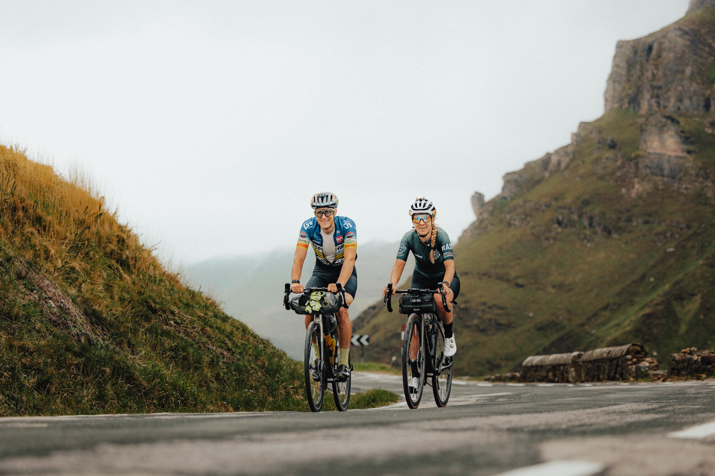
Cyclists in the Race Across Spain: Destination Cantabria
500K: Two Routes in One
The 500-km race offers yet another kind of experience, as it combines the 200K and 300K courses.
It is, therefore, a route that captures the key features of both Cantabrian routes: the mountain passes and climbs of the 200-km route, as well as the coastal stretch and the climb up the Puerto de Palombera found on the 300-km route.
